

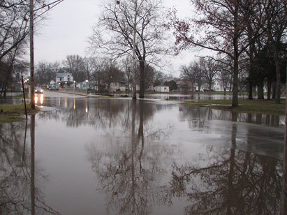
After a recent successful challenge of the scientific methodology used to redraw the coastal high-hazard zones, the Massachusetts congressional delegation is asking federal officials to put the brakes on new flood zone maps for the Bay State. Officials from the town of Rockport, Mass., persuaded FEMA officials to modify flood maps, arguing successfully that the elevations used to determine which properties were at risk of severe flooding were based on a Pacific Coast wave model that was not appropriate for the East Coast town. The town spent $24,000 on scientific studies to prove that the federal agency’s proposed flood maps were flawed.
Advertisement
Related Stories

Codes + Standards
Public Comment Period Opens for National Green Building Standard Updates
The 45-day public comment period for draft 2 of the 2024 NGBS begins on April 12, 2024

Codes + Standards
Public Comment Period Opens for 2024 National Green Building Standard Update
The 45-day public comment period opened Aug. 18, and comments must be submitted by Oct. 2, 2023

Codes + Standards
The Inefficiencies of the Latest Energy Code
The 2021 edition of the International Energy Conservation Code (IECC) hampers the return on investment for builders and homebuyers

